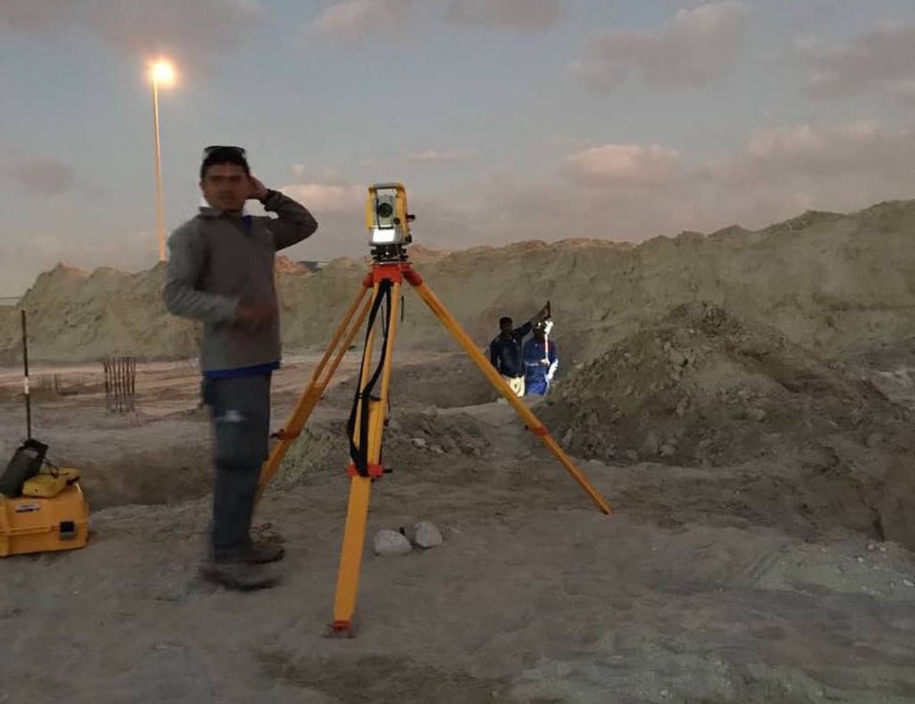
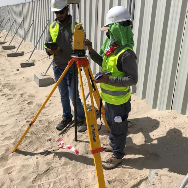
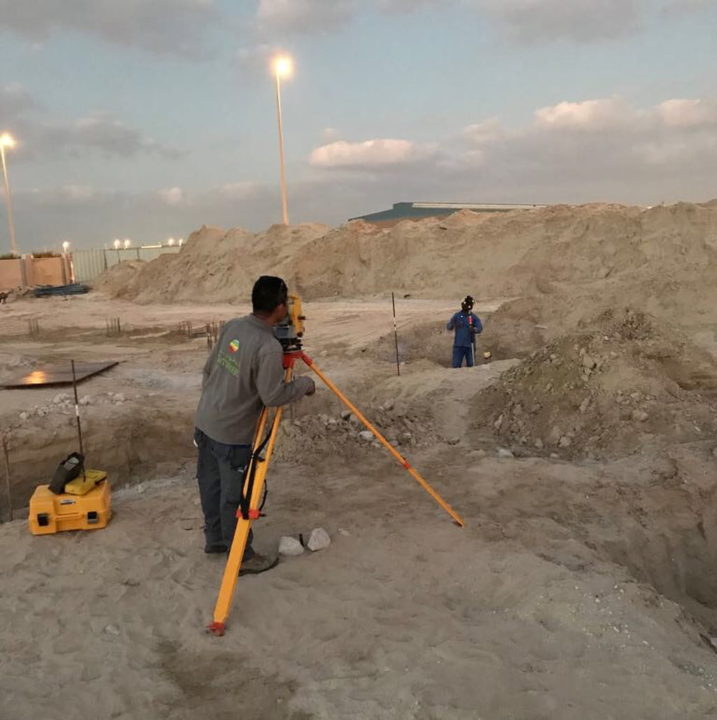
GPS AND TOTAL STATION TOPOGRAPHIC SURVEYS
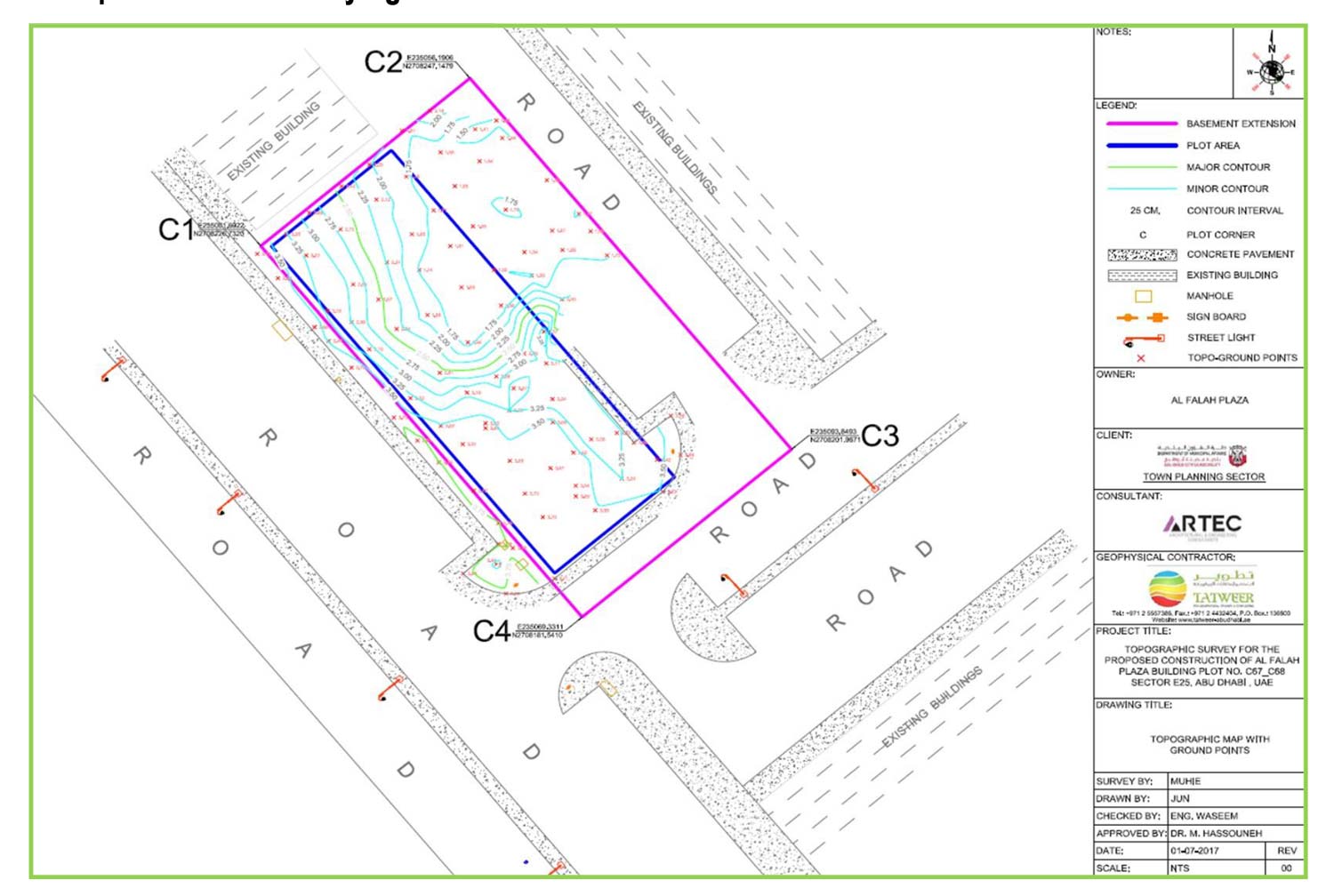
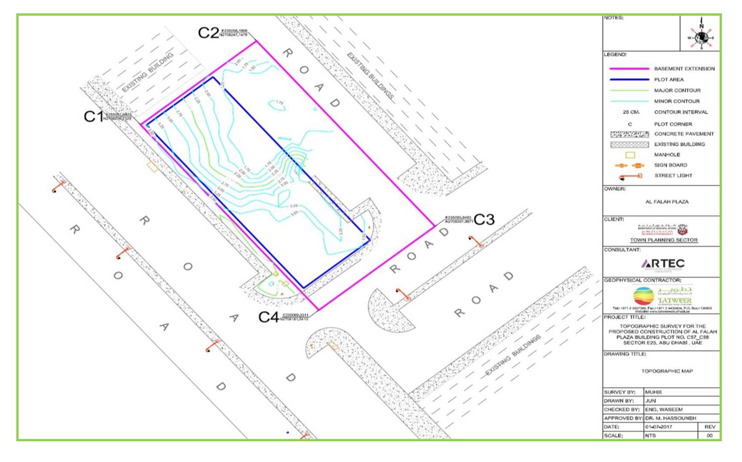
Topographic Surveys are used to identify and map the contours of the ground and existing features on the surface of the earth or slightly above or below the earth’s surface (i.e. trees, buildings, streets, walkways, manholes, utility poles, retaining walls, etc.).
Land surveying is basically an art and science of mapping and measuring land. The entire scope of profession is wide; it actually boils down to calculate where the land boundaries are situated. This is very important survey for geophysical survey, geotechnical survey, GIS and construction terminologies. Topographic survey was to make exact plot corners, localized features, curve stone, road, near existing boiling etc coordinates with levels to aid in future construction design work.
Our Land Surveying Services will include:
Surveying for oil –water Wells Locations
Surveying for Oil and Gas Pipelines
Surveying for Power Transmission Lines
Surveying for Cell/Communications Tower Sites
Boundary Surveys
Surveying and Drafting underground utilities (Services)
Topographic Surveys – We identify and map the contours of the ground and existing features on the earth or slightly above or below the earth’s surface (i.e. trees, buildings, streets, walkways, manholes, utility poles, retaining walls, etc.).
Boundary Surveys – We identify and map the perimeter boundaries of parcels of real property which may require the setting of permanent or semi-permanent “monuments” to mark the corners of the property.
Construction Surveys – We calculate and mark on the ground where, both horizontally and vertically, specific design elements are to be placed and constructed.


Examples of Land Surveying Services