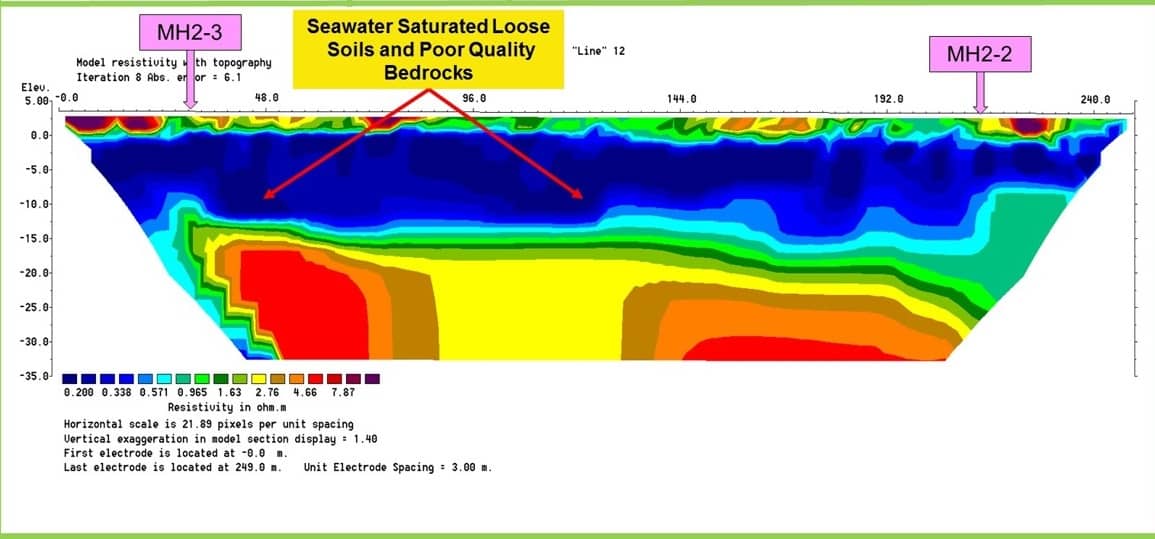
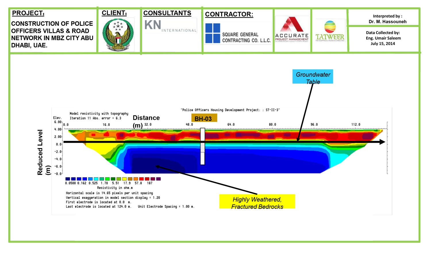
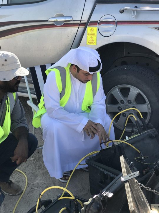
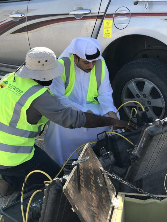
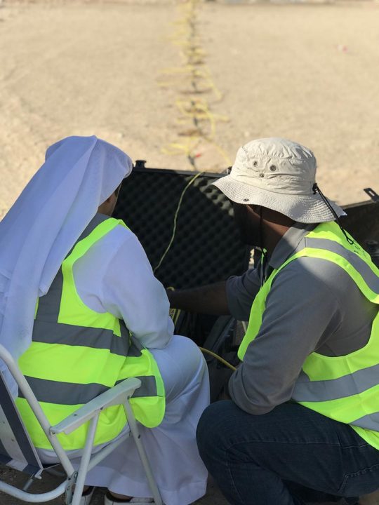
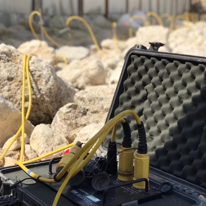
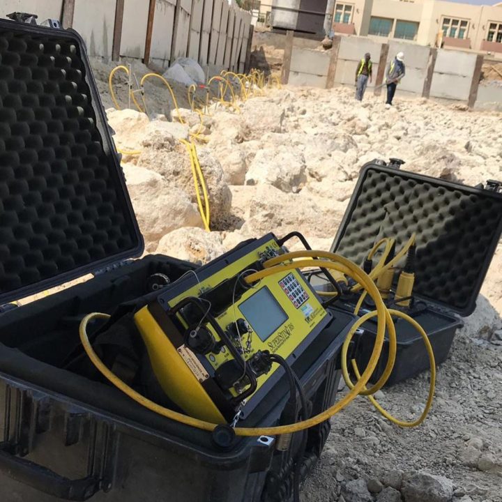
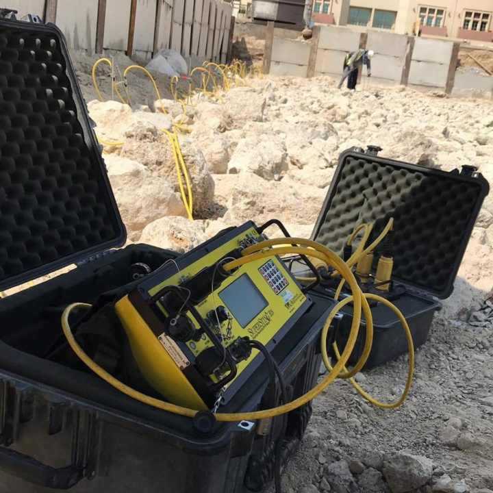
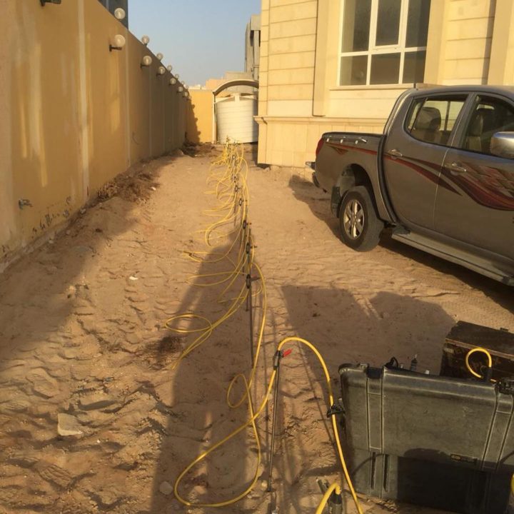
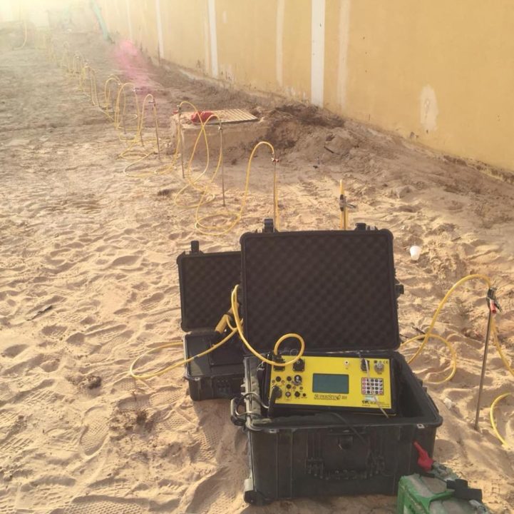
ELECTRICAL RESISTIVITY TOMOGRAPHY (ERT) AND IMAGING
Resistivity geophysical surveys measure variations in the electrical resistivity of the ground, the idea of ERT technique is to pass a current of known voltage into the subsurface to be imaged through two current electrodes, and then using a second pair of potential electrodes, measure the potential drop induced by the differential response of earth materials to the penetrating current. The survey data will be processed to produce graphics depth sections of the thickness and resistivity of subsurface electrical layers. The resistivity sections are correlated with ground interfaces such as soil and fill layers or soil-bedrock interfaces, to provide engineers with detailed information on subsurface ground conditions.
Applications:
Measures bedrock & water table depth
Detects solution features, cavities & voids
Locates buried alluvial channels
Profiling landslip geometry
Identifies weathered\fractured bedrock
Maps leachate contamination
Defines saline groundwater incursions
Finds abandoned mineshafts & workings


Data Processing Software Samples