Gravity surveys can provide useful information where other methods do not work. For example, gravity may be used to map bedrock topography under a landfill, where seismic refraction is limited. Gravity can also be used to map lateral lithological changes, and faults. Gravity is the attraction between masses. The strength of this force is a result of the mass and distance separating the objects. Gravity surveys are relatively slow and expensive. Detectability varies with target size, depth and density contrast. Interpretation of data often requires control data from drilling, outcrops, or other sources. Detailed surface topographic survey data is also required.
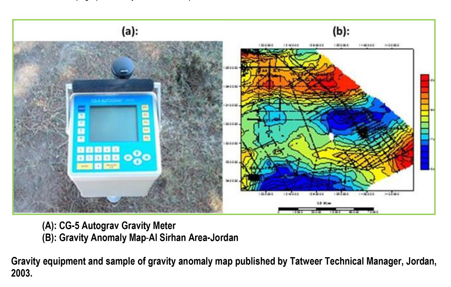
A gravimeter is used to measure the earth’s gravitational attraction at various points over the area of interest. Gravity anomalies are due to differences in density of underlying materials. Gravity anomalies are extremely small relative to the total field and are usually measured in micro-Gals (one micro-Gal is about 1 billionth of the earth’s total gravitational field). The equipment used in a gravity survey is extremely delicate and precise. Data interpretation is time consuming even with the use of sophisticated computer programs.
Applications:
Bedrock topography under landfills
Mapping large metallic mineral deposits
Locating subsurface caverns
Locating contacts between geologic units of differing mass and density
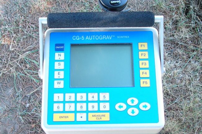
Results are presented in a full report which includes profiles or a contour map and gravity data tables.
Data Processing Software