GEOPHYSICAL SERVICES
TGSC providing the following Geophysical services throughout the UAE and Gulf Cooperation Council GCC states:
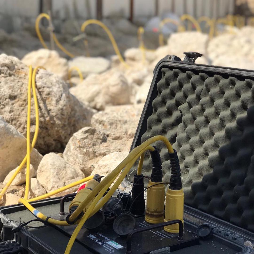
Electrical Resistivity Tomography (ERT)
Resistivity geophysical surveys measure variations in the electrical resistivity of the ground, the idea of ERT technique is to pass a current of known voltage into the subsurface to be imaged through two current electrodes
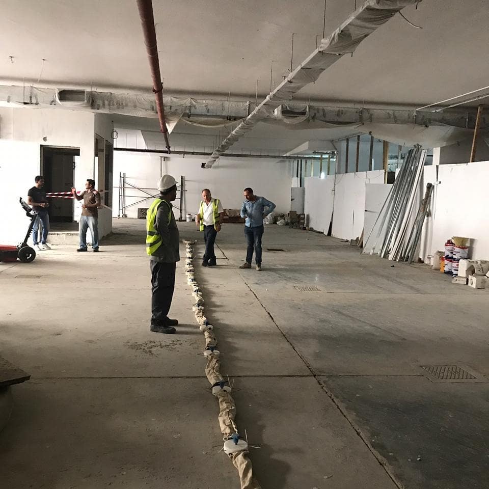
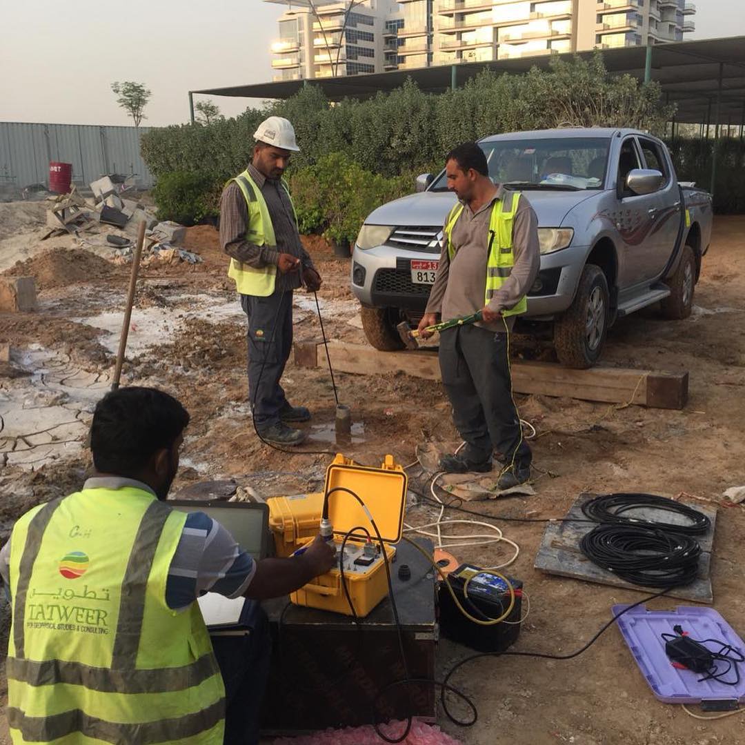
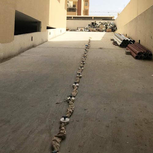
Seismic Shear Wave Velocity Tests utilizing Multi Analysis Surface Waves (MASW)
MASW is a seismic method that uses the dispersive nature of surface waves to map the values of shear wave velocities (Vs) in the subsurface.
Seismic Downhole Testing
The seismic Downhole method provides a designer with information pertinent to the seismic wave velocities of the materials.
Seismic Refraction
Seismic refraction most commonly employed where velocities increase suddenly with depth, e.g. determining depth to bedrock. From the estimated layer velocities estimates of rock strength and excavation, difficulty can be made.
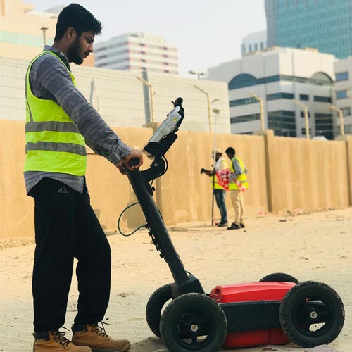
GROUND PENETRATING RADAR (GPR)
Ground probing radar also known as ground penetration radar (GPR) is a high resolution, field-portable geophysical method that produces graphic sections of subsurface structure.
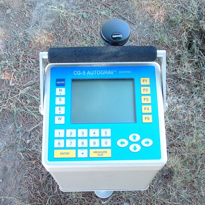
Gravity & Magnetic Surveying
Magnetic geophysical surveys measure small, localized variations in the Earth’s magnetic field.
Ground Water Exploration
Sitting by the driller
Water divining
Siting by a hydrogeologist or water engineer, having studied the local geology, geomorphology and satellite imagery.
Geographic information System(GIS)
A “geographic information system” (GIS) is a computer-based tool that allows you to create, manipulate, analyze, store and display information based on its location.
LAND SURVEYING SERVICES
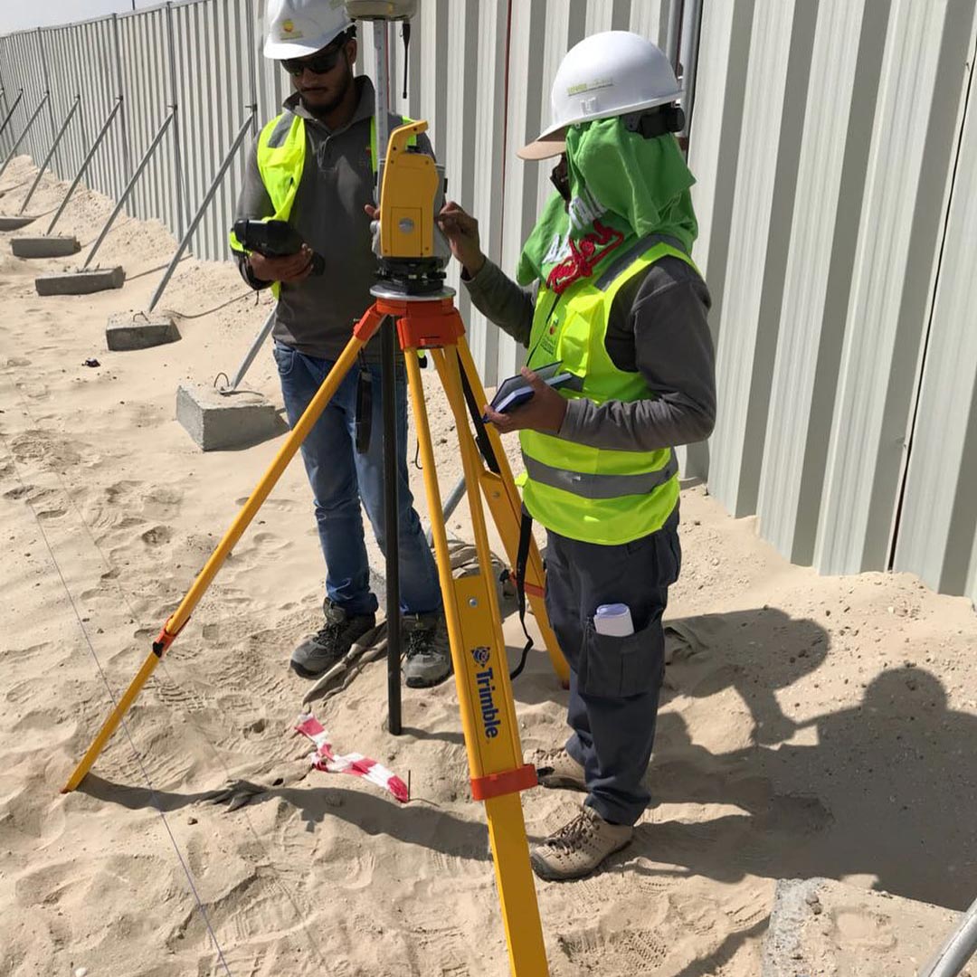
Topographic Surveys are used to identify and map the contours of the ground and existing features on the surface of the earth or slightly above or below the earth’s surface (i.e. trees, buildings, streets, walkways, manholes, utility poles, retaining walls, etc.).
SOIL TESTING & GEOTECHNICAL INVESTIGATION
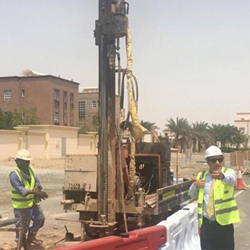
TGSC recently providing Geotechnical Engineering Services for a wide range of projects and welcomes the opportunity to expand our horizons. Our Engineering experience includes land development and construction.
CONSULTING SERVICES
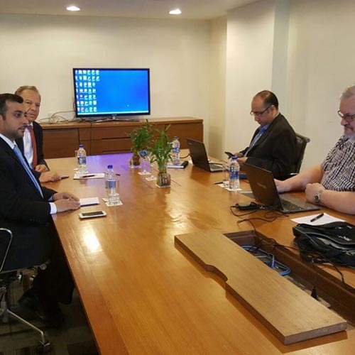
TConsulting services also include: taking field data and reprocessing it into a usable form to aid geological interpretation. The processed data can be taken a step further using state of the science 2D and 3D modelling software.